Books by Theme
Follow That Map!

Explore your neighborhood, town, and the world through maps! Young readers will learn about geography, measuring and scale, longitude and latitude, the points of a compass, countries and cities of the world, explorers, and much more.

As the Crow Flies: A First Book of Maps
Follow the crow along a stream and a long and winding road, with other animals and landmarks along the way. At the close of each journey is a small map. Each map is joined together to show the wider world and how the different parts connect.

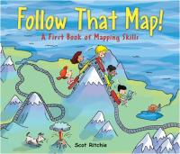
Follow That Map! A First Look at Mapping Skills
One day when Sally and her friends are playing, they notice that her dog and cat are missing. The children use map skills to explore their neighborhood and beyond to locate Sally's pets. Information and fun combine in this easy informational book.

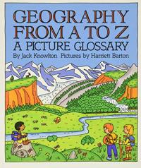
Geography from A to Z: A Picture Glossary
Have you ever wondered what a badland is? What about a gulch? Do you wonder what an isthmus is? Or a seamount? What about the difference between a plateau and a plain, or a knob and a knoll? The sixty-three entries from A to Z describe the earth's features — its physical geography — from the highest mountain peak to the deepest ocean trench, in clear, concise terms. Each entry is beautifully illustrated in full color.

Mapping Penny's World
A girl maps her dog Penny's world from her room, to the neighborhood as well as the tools she uses.

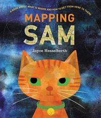
Mapping Sam
Join Sam, the cat, after she puts her family to bed to begin her nightly journey. From a map of Sam to a layout of the neighborhood, readers can follow Sam and find out about maps and mapping along the way. Rich illustrations and clever format provide different ways to enjoy this book, as information or a story.

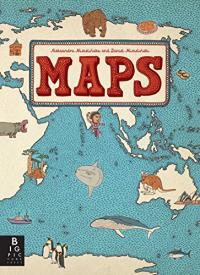
Maps
Travel the world without leaving your living room. Much more than an ordinary atlas, this book of maps is a visual feast for readers of all ages, with lavishly drawn illustrations. It features not only borders, cities, rivers, and peaks, but also places of historical and cultural interest, eminent personalities, iconic animals and plants, cultural events, and many more fascinating facts associated with every region of our planet.

Me on the Map
The United States is a big place which holds many children and their families. Maps and what they show are introduced by a girl who begins with a drawing of her room in her home. The house is then placed on a street, in a town, etc. until we see the U.S. as part of the world. This accessible book may help children understand their place on the map — and in the census.

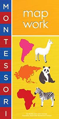
Montessori: Map Work
"Our world is made of land and water." The land is called continents; the water oceans. Select animals that live on each continent are presented on sturdy, textured pages that will hold up to multiple readings and handling by young children while providing a visually appealing introduction to maps and animals.

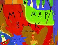
My Map Book
In each spread of this bold and humorous picture book, children can examine their place in the world around them through detailed and engaging maps that are drawn from a child's perspective.

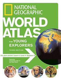
National Geographic World Atlas for Young Explorers, 3rd edition
The latest edition of the Young Explorers atlas uses satellite images to help focus on various parts of the world and to build an understanding of continents, countries, and natural resources. This edition also suggests links to a dedicated website to extend the learning.

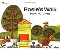
Rosie's Walk
Rosie, a hen, takes a walk — oblivious to the fox that is following her. Rosie unwittingly leads the hungry fox from one disaster to the next until she returns safely home. The simple text notes only Rosie's trip around the farm, making the strong line and bright colors of the illustration all the more striking and very funny.

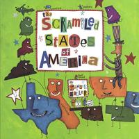
The Scrambled States of America
Dorothy may have thought there's no place like home when she clicked her ruby slippers, but the wanderlust of her native state is what starts all the trouble here. Kansas is bored and gets best friend Nebraska to help stir things up. Soon they're throwing a potluck party for all the states and everyone delights in the idea of seeing another part of the country. Readers will unwittingly learn more than they would ever have thought while poring over the witty remarks exchanged over state lines.

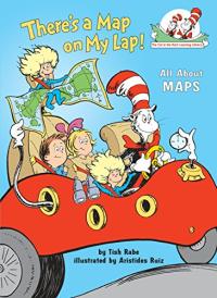
There's a Map on My Lap
The familiar Cat in the Hat is used to introduce newly independent readers to maps of all kinds.

Where Do I Live?
You live in your home...but where is your home? It's in your neighborhood...but where is your neighborhood? It's in your town, which is in your state, which is in North America, which is on the planet Earth, which is in the solar system, which is in a galaxy of stars called the Milky Way.
Proceeds from the sale of books purchased at Bookshop.org and Amazon.com help support the Reading Rockets project. Thank you!